MACCS
MACCS
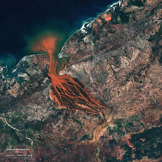
MACCS is a cloud detection and atmospheric correction chain, adapted to the processing of high resolution image time series acquired under constant or quasi-constant viewing angles. In particular, it is used to process data from LANDSAT and SENTINEL-2.
Since 2014, MACCS has been used in the ESA-funded Sentinel-2 Agri project, which aims to develop a toolbox capable of generating "agriculture" products from Sentinel-2 data. The use is only allowed in the framework of the Sentinel-2 Agriculture project. For use outside this project, use the MAJA software (which is a slightly more advanced version of the same software).
MACCS has the particularity to use the multi-temporal information contained in the images to detect clouds and their shadows, to estimate the atmospheric content of aerosols and water vapor, and to correct the atmospheric effects (taking into account the environmental and relief effects).
The delivered version of MACCS is compatible with L1 products in the following formats (documents provided in the package):
Sentinel-2: (PSD) S2-PDGS-TAS-DI-PSD v.12 AND v.14.2
Landsat8: Landsat8_Level1_Data_Format_Control_Book_LSDS-809
The following components are required for MACCS to function:
- Hdf4
- Expat
- LibXML2 *
- OpenJpeg
- Gdal
- InsightToolkit
- OrfeoToolbox
- Pugixml
- They are delivered in the maccs-cots package.
For more details on the methods associated with this chain: http://www.cesbio.ups-tlse.fr/multitemp/?p=6050
MACCS
Thematic
Licence type
Free owner licence
Programming language
C++
Operating system
Linux RedHat 6 et 7, CENTOS 6 et 7
A question regarding MACCS software ?
Don't hesitate to contact us ! We are here to help you.